Drone Photography
Client:
Construction Company
Project Date:
June 2025
Category:
Drone Photography
OVERVIEW
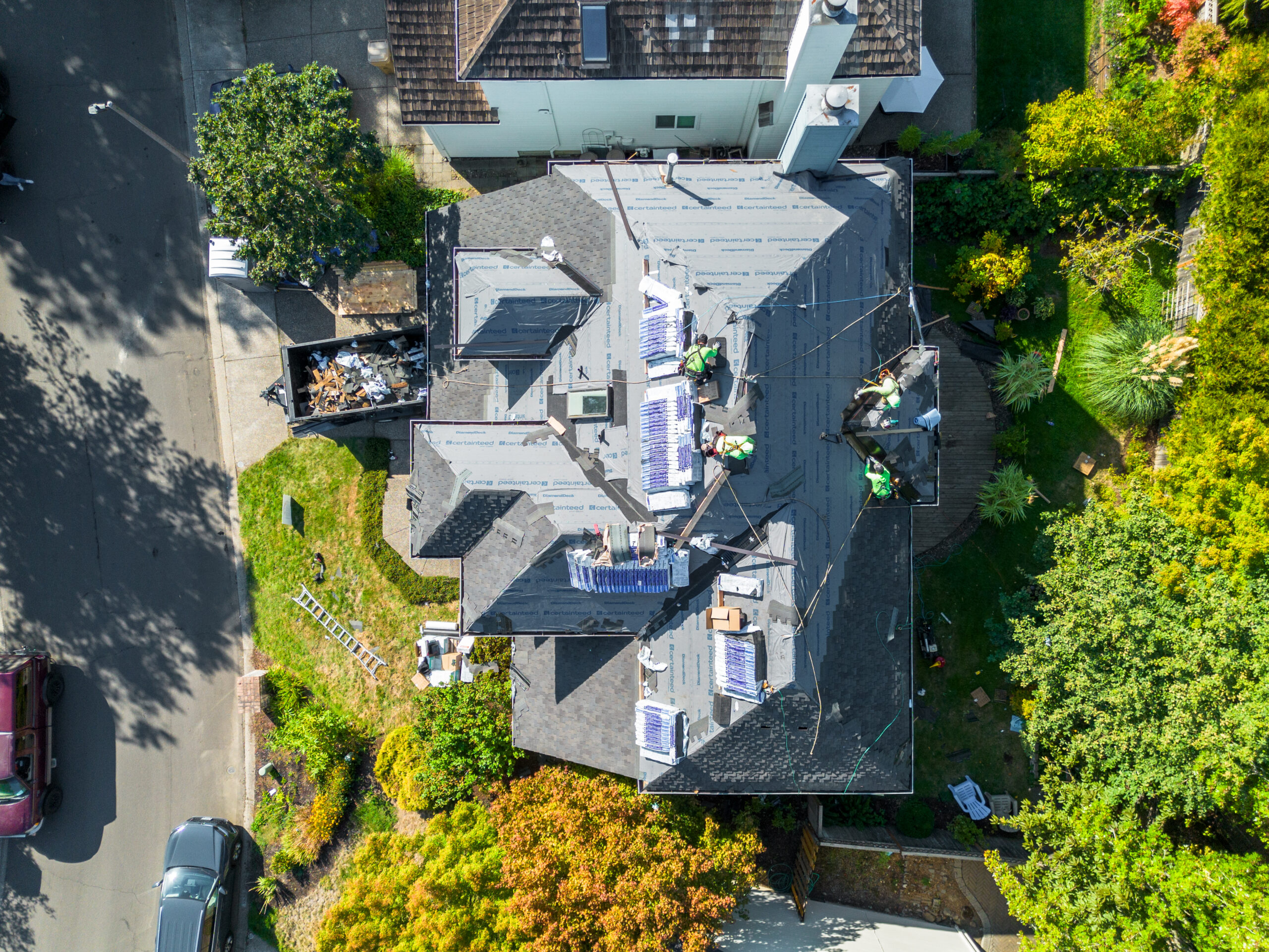
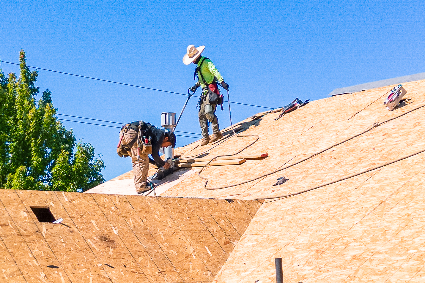
This project focused on documenting the scale and progress of large scale construction sites across Oregon. We used drone technology to provide a perspective that ground level photography cannot achieve. By capturing high resolution aerial views, we provided the construction firms with a clear look at their site logistics, structural milestones, and the overall footprint of their developments in Salem and Portland.
OBJECTIVE
To provide the client with professional aerial assets for project management and marketing. The goal was to document the site at critical phases, allowing the company to show potential investors and clients the full scope of their capabilities. These images serve as proof of progress and are used in bids for future commercial contracts.
APPROACH
We coordinated with site managers to ensure all flights were conducted safely and during optimal lighting conditions.
- We captured top down maps of the entire site to show the organization and phase completion.
- We flew at lower altitudes to document specific structural details and machinery in motion.
- We took wide shots that included the surrounding environment to show the project within its local Willamette Valley setting.
- We maintained strict adherence to FAA regulations and site specific safety protocols throughout every flight and with vendors.
OUTCOME
The project delivered a comprehensive set of aerial images that the company used for their digital portfolios and internal progress reports. These high quality visuals allow the firm to demonstrate their efficiency and the massive scale of their work, helping them stand out in the competitive Oregon construction market.